
Archivo:PIA20353 Ceres Neutron Counts Reflect Hydrogen Abundance.jpg

Ver la imagen en su resolución original (2011 × 1132 píxeles; tamaño de archivo: 132 kB; tipo MIME: image/jpeg)
Resumen
| Descripción |
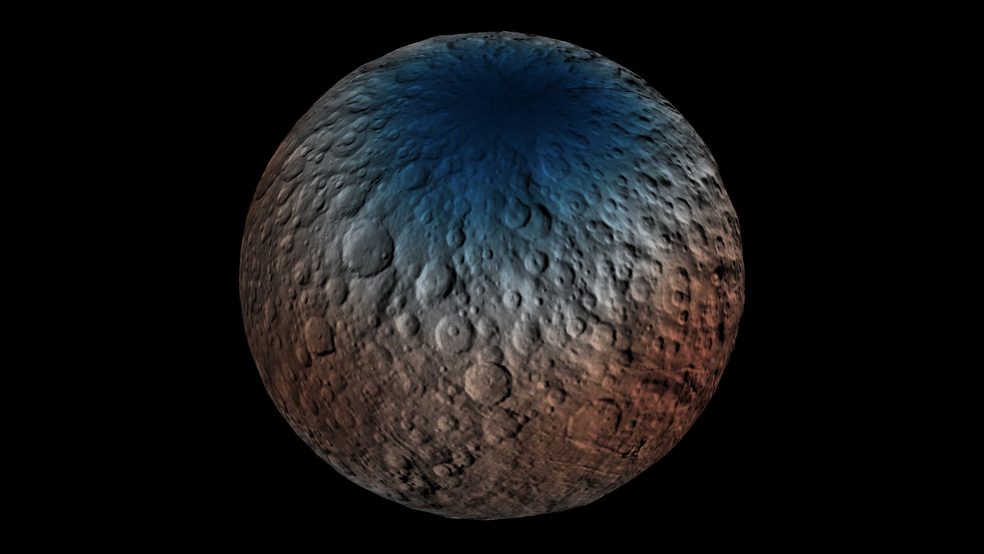
English: This map shows a portion of the northern hemisphere of Ceres with neutron counting data acquired by the gamma ray and neutron detector (GRaND) instrument aboard NASA's Dawn spacecraft.
These data reflect the concentration of hydrogen in the upper yard (or meter) of regolith, the loose surface material on Ceres. The color information is based on the number of neutrons detected per second by GRaND. Counts decrease with increasing hydrogen concentration. The color scale of the map is from blue (lowest neutron count) to red (highest neutron count). Lower neutron counts near the pole suggest the presence of water ice within about a yard (meter) of the surface at high latitudes. The GRaND data were acquired from Dawn's low-altitude mapping orbit (LAMO) at Ceres, a distance of 240 miles (385 kilometers) from the dwarf planet. The longitude is centered on Occator Crater. Dawn's mission is managed by JPL for NASA's Science Mission Directorate in Washington. Dawn is a project of the directorate's Discovery Program, managed by NASA's Marshall Space Flight Center in Huntsville, Alabama. UCLA is responsible for overall Dawn mission science. Orbital ATK, Inc., in Dulles, Virginia, designed and built the spacecraft. The German Aerospace Center, the Max Planck Institute for Solar System Research, the Italian Space Agency and the Italian National Astrophysical Institute are international partners on the mission team. For a complete list of acknowledgments, see http://dawn.jpl.nasa.gov/mission. For more information about the Dawn mission, visit http://dawn.jpl.nasa.gov. |
| Fecha | (published) |
| Fuente | Catalog page · Full-res (JPEG · TIFF) |
| Autor | NASA/JPL-Caltech/UCLA/MPS/DLR/IDA/PSI |
Este archivo fue catalogado por Jet Propulsion Lab de la Administración Nacional de Aeronáutica y del Espacio (NASA) de los Estados Unidos de Américabajo el identificador de foto: PIA20353.Esta etiqueta no indica el estado de los derechos de autor del trabajo adjunto. Se requiere una etiqueta de derechos de autor normal. Para más información vea Commons:Sobre las licencias. Otros idiomas:
|
| This media is a product of the Dawn mission Credit and attribution belongs to the Dawn Gamma Ray and Neutron Detector (GRaND) team, NASA/JPL-Caltech/UCLA/MPS/DLR/IDA/PSI |
Licencia
| Este archivo es de dominio público porque fue creado por la NASA. Las políticas sobre copyright de la NASA estipulan que «el material de la NASA no está protegido con copyright a menos que se indique lo contrario». (Políticas sobre copyright de la NASA o Políticas sobre la utilización de imágenes del Jet Propulsion Laboratory). | ||
 |
Advertencias:
|
Historial del archivo
Haz clic sobre una fecha y hora para ver el archivo tal como apareció en ese momento.
| Fecha y hora | Miniatura | Dimensiones | Usuario | Comentario | |
|---|---|---|---|---|---|
| actual | 05:36 31 ene 2017 | | 2011 × 1132 (132 kB) | PhilipTerryGraham | User created page with UploadWizard |
Usos del archivo
No hay páginas que enlacen a este archivo.
Uso global del archivo
Las wikis siguientes utilizan este archivo:
- Uso en en.wikiversity.org