
Archivo:Us canada eu 2007.png
Us_canada_eu_2007.png (738 × 375 píxeles; tamaño de archivo: 20 kB; tipo MIME: image/png)
Resumen
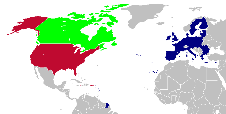
This is a map of the US, Canada and the EU for use after Romania and Bulgaria join the EU in 2007. The map is the same as en:Image:Us canada eu.png; however French Guiana and Puerto Rico have been added. This map is based off of Image:BlankMap-World-v5-EU.png.
Licencia

|
Se autoriza la copia, distribución y modificación de este documento bajo los términos de la licencia de documentación libre GNU, versión 1.2 o cualquier otra que posteriormente publique la Fundación para el Software Libre; sin secciones invariables, textos de portada, ni textos de contraportada. Se incluye una copia de la dicha licencia en la sección titulada Licencia de Documentación Libre GNU. |
| Este archivo se encuentra bajo la licencia Creative Commons Genérica de Atribución/Compartir-Igual 3.0. | ||
| ||
| Esta etiqueta de licencia fue agregada a este archivo como parte de la actualización de la licencia GFDL. |
| Este trabajo ha sido liberado al dominio público por su autor, Hoshie. Esto aplica para todo el mundo. En algunos países esto puede no ser legalmente factible; si ello ocurriese: |
Historial del archivo
Haz clic sobre una fecha y hora para ver el archivo tal como apareció en ese momento.
| Fecha y hora | Miniatura | Dimensiones | Usuario | Comentario | |
|---|---|---|---|---|---|
| actual | 23:28 12 abr 2008 | | 738 × 375 (20 kB) | Hoshie | St. Barts and St. Martin are in the EU |
| 03:58 6 mar 2007 |  | 738 × 375 (20 kB) | Hoshie | added more details of places in and out of the EU. | |
| 20:51 13 dic 2006 |  | 703 × 363 (18 kB) | Hoshie | Fixed an island off of Alaska. under same license as original. | |
| 04:06 18 nov 2006 |  | 703 × 363 (18 kB) | Hoshie | This is a map of the US, Canada and the EU for use after Romania and Bulgaria join the EU in 2007. The map is the same as en:Image:Us canada eu.png; however French Guiana and Puerto Rico have been added. This map is based off of [[:Image:BlankMap-Wor |
Usos del archivo
La siguiente página usa este archivo:
Uso global del archivo
Las wikis siguientes utilizan este archivo:
- Uso en en.wikipedia.org
- Uso en uk.wikipedia.org
- Uso en zh.wikipedia.org