
Archivo:Saarland location map 02.svg

Tamaño de esta previsualización PNG del archivo SVG: 658 × 540 píxeles. Otras resoluciones: 293 × 240 píxeles · 585 × 480 píxeles · 936 × 768 píxeles · 1248 × 1024 píxeles · 2496 × 2048 píxeles.
Ver la imagen en su resolución original ((Imagen SVG, nominalmente 658 × 540 pixels, tamaño de archivo: 125 kB))
Resumen
| Descripción |
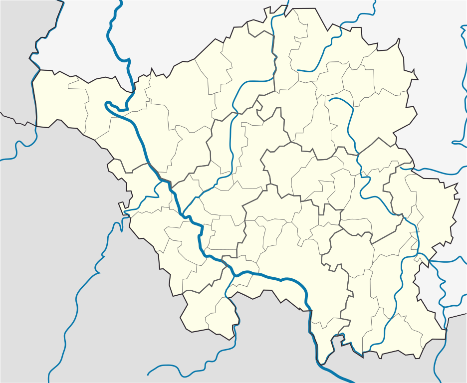
English: Position map of the state of Saarland with the six disticts and fiftytwo municipalities
Geographic limits of the map: * N: 49.65° N * S: 49.09° N * W: 6.3° E * E: 7.405° E Deutsch: Positionskarte vom Bundesland Saarland mit seinen sechs Kreisen und 52 Gemeinden Quadratische Plattkarte. Geographische Begrenzung der Karte: * N: 49.65° N * S: 49.09° N * W: 6.3° E * E: 7.405° E |
| Fecha | |
| Fuente |
Trabajo propio, based on: |
| Autor |
TUBS |
| Otras versiones |
 |
Licencia
Yo, el titular de los derechos de autor de esta obra, la publico en los términos de la siguiente licencia:
Este archivo se encuentra bajo la licencia Creative Commons Genérica de Atribución/Compartir-Igual 3.0.
- Eres libre:
- de compartir – de copiar, distribuir y transmitir el trabajo
- de remezclar – de adaptar el trabajo
- Bajo las siguientes condiciones:
- atribución – Debes otorgar el crédito correspondiente, proporcionar un enlace a la licencia e indicar si realizaste algún cambio. Puedes hacerlo de cualquier manera razonable pero no de manera que sugiera que el licenciante te respalda a ti o al uso que hagas del trabajo.
- compartir igual – En caso de mezclar, transformar o modificar este trabajo, deberás distribuir el trabajo resultante bajo la misma licencia o una compatible como el original.
Historial del archivo
Haz clic sobre una fecha y hora para ver el archivo tal como apareció en ese momento.
| Fecha y hora | Miniatura | Dimensiones | Usuario | Comentario | |
|---|---|---|---|---|---|
| actual | 15:09 22 mar 2010 | | 658 × 540 (125 kB) | TUBS | == {{int:filedesc}} == {{Information |Description={{en|1=Position map of the state of Saarland with the six disticts and fiftytwo municipalities<br> Geographic limits of the map: * N: 49.65° N * S: 49.09° N * W: 6.3° E * E: 7.405° E}} {{de|1=Positions |
Usos del archivo
La siguiente página usa este archivo:
Uso global del archivo
Las wikis siguientes utilizan este archivo:
- Uso en ar.wikipedia.org
- Uso en ceb.wikipedia.org
- Uso en dsb.wikipedia.org
- Uso en en.wikipedia.org
- Saarbrücken
- Wallerfangen
- Saarlouis
- Lebach
- Saarwellingen
- Sankt Wendel
- Heusweiler
- Überherrn
- Weiskirchen
- Homburg, Saarland
- Wadern
- Dillingen, Saarland
- Dudweiler
- Sankt Ingbert
- Merzig
- Beckingen
- Losheim am See
- Mettlach
- Perl, Saarland
- Neunkirchen, Saarland
- Ottweiler
- Eppelborn
- Illingen, Saarland
- Merchweiler
- Schiffweiler
- Spiesen-Elversberg
- Bous, Germany
- Schwalbach, Saarland
- Ensdorf, Saarland
- Nalbach
- Rehlingen-Siersburg
- Schmelz
- Wadgassen
- Friedrichsthal
- Püttlingen
- Sulzbach, Saarland
- Völklingen
- Großrosseln
- Kleinblittersdorf
- Quierschied
- Riegelsberg
- Bexbach
- Blieskastel
- Gersheim
- Kirkel
- Mandelbachtal
- Freisen
Ver más uso global de este archivo.