
Archivo:Norway European Union Locator.png
Tamaño de esta previsualización: 800 × 352 píxeles. Otras resoluciones: 320 × 141 píxeles · 640 × 282 píxeles · 1432 × 630 píxeles.
Ver la imagen en su resolución original (1432 × 630 píxeles; tamaño de archivo: 40 kB; tipo MIME: image/png)
Resumen
| Descripción | |
| Fecha | 16 de junio de 2011 (fecha original de carga) |
| Fuente | Transferido desde en.wikipedia a Commons. |
| Autor | Phoenix500 de Wikipedia en inglés |
Licencia
Phoenix500 de Wikipedia en inglés, titular de los derechos de autor de esta obra, la publica en los términos de la siguiente licencia:
| Este archivo está disponible bajo la licencia Creative Commons Dedicación de Dominio Público CC0 1.0 Universal. | |
| La persona que ha asociado una obra a este documento lo dedica al dominio público mediante la cesión mundial de sus derechos bajo la ley de derechos de autor y todos los derechos legales adyacentes propios de dicha, en el ámbito permitido por ley. Puedes copiar, modificar, distribuir y reproducir el trabajo, incluso con objetivos comerciales, sin pedir aprobación del autor.
|
Registro original de carga
Aquí se muestra la página de descripción original. Los siguientes nombres de usuario se refieren a en.wikipedia.
- 2011-06-16 04:34 Phoenix500 1432×742× (58272 bytes)
Historial del archivo
Haz clic sobre una fecha y hora para ver el archivo tal como apareció en ese momento.
| Fecha y hora | Miniatura | Dimensiones | Usuario | Comentario | |
|---|---|---|---|---|---|
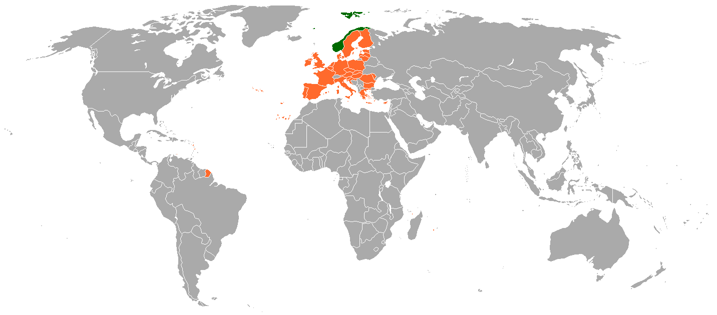
| actual | 16:38 11 mar 2018 | | 1432 × 630 (40 kB) | Maphobbyist | South Sudan border; except for Gibraltar none of the British territories, and nor the Danish territories are part of the EU. |
| 12:44 18 ene 2015 |  | 1432 × 742 (64 kB) | BIL | Add Canary Islands, Madeira, Greenland. Remove Tierra del Fuego. Doubtful if Greenland, British/French Antarctica, New Caledonia shall be orange. | |
| 18:09 7 jul 2013 |  | 1432 × 742 (44 kB) | Hektor Absurdus | + Croatia | |
| 16:37 16 ene 2012 |  | 1432 × 742 (57 kB) | Iketsi | Reverted my change. Template:Infobox_bilateral_relations works with green and orange. | |
| 16:21 16 ene 2012 |  | 1432 × 742 (19 kB) | Iketsi | more logical colors | |
| 22:30 10 dic 2011 |  | 1432 × 742 (57 kB) | Kranix | {{Information |Description={{en|''no original description''}} |Source=Transferred from [http://en.wikipedia.org en.wikipedia] |Date={{Date|2011|06|16}} (original upload date) |Author=Original uploader was Phoenix500 at [http://en.w |
Usos del archivo
No hay páginas que enlacen a este archivo.