
Archivo:Europe-Great Britain.svg

Ver la imagen en su resolución original ((Imagen SVG, nominalmente 450 × 456 pixels, tamaño de archivo: 735 kB))

Resumen
| Descripción |
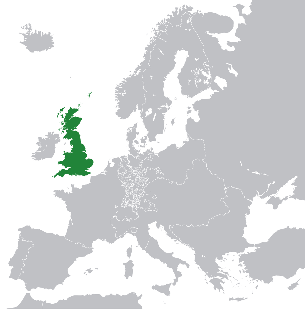
English: Great Britain in 1800 Europe. |
||
| Fecha | |||
| Fuente | File:Europe 1789.svg | ||
| Autor | Rob984 | ||
| Otras versiones |
|
.svg)
Licencia
- Eres libre:
- de compartir – de copiar, distribuir y transmitir el trabajo
- de remezclar – de adaptar el trabajo
- Bajo las siguientes condiciones:
- atribución – Debes otorgar el crédito correspondiente, proporcionar un enlace a la licencia e indicar si realizaste algún cambio. Puedes hacerlo de cualquier manera razonable pero no de manera que sugiera que el licenciante te respalda a ti o al uso que hagas del trabajo.
- compartir igual – En caso de mezclar, transformar o modificar este trabajo, deberás distribuir el trabajo resultante bajo la misma licencia o una compatible como el original.
Este archivo podría no tener la información correcta sobre su estado de derechos de autor.
La razón por la cual el usuario agregó esta etiqueta es: appears to be an uncredited (unattributed) derivative work of both Europe 1789.svg which is licensed under the Creative Commons Attribution-Share Alike 3.0 Unported licence. I believe the currently supplied license (Creative Commons Attribution-Share Alike 4.0 International) is compatible with this but the required attribution has not been supplied.
Notifica a quien subió el archivo con:
Aquello etiquetado con esta plantilla se clasifica dentro de Category:Items with disputed copyright information —la categoría: objetos con disputas sobre la información de los derechos de autor—.
|
Historial del archivo
Haz clic sobre una fecha y hora para ver el archivo tal como apareció en ese momento.
| Fecha y hora | Miniatura | Dimensiones | Usuario | Comentario | |
|---|---|---|---|---|---|
| actual | 11:53 8 nov 2014 | | 450 × 456 (735 kB) | Rob984 | User created page with UploadWizard |
Usos del archivo
No hay páginas que enlacen a este archivo.
Uso global del archivo
Las wikis siguientes utilizan este archivo:
- Uso en bg.wikipedia.org
- Uso en en.wikipedia.org
- Uso en fr.wikipedia.org
- Uso en hi.wikipedia.org
- Uso en hr.wikipedia.org
- Uso en ja.wikipedia.org
- Uso en ka.wikipedia.org
- Uso en nl.wikipedia.org
- Uso en pl.wikipedia.org
- Uso en rue.wikipedia.org
- Uso en ru.wikipedia.org
- Uso en zh-min-nan.wikipedia.org