
Archivo:Austria Salzburg relief location map.svg

Ver la imagen en su resolución original ((Imagen SVG, nominalmente 1071 × 918 pixels, tamaño de archivo: 2,2 MB))
Resumen
| Descripción |
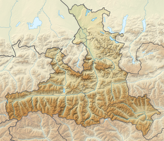
Deutsch: Positionskarte von Salzburg, Österreich.
Quadratische Plattkarte. Geographische Begrenzung der Karte:
English: Location map of Salzburg, Austria.
Equirectangular projection. Geographic limits of the map:
|
||
| Fecha | |||
| Fuente |
Trabajo propio, using
|
||
| Autor | NordNordWest | ||
| Otras versiones |
|
||
| SVG desarrollo | El código fuente de esta imagen SVG es válido. Este mapa fue creado con Adobe Illustrator
|


Licencia
Usage of this file with:

explanatory notes: Legally binding is only the full legalcode. For a free usage I recommend to respect the following licence conditions:
1. Provide my name as given above: NordNordWest,
2. a copy of, or the URI for, the applicable license: https://creativecommons.org/licenses/by-sa/3.0/de/legalcode,
3. the title of the work,
4. in the case of an adaptation, a credit identifying the use of the work in the adaptation.
This license and the rights granted hereunder will terminate automatically upon any breach by you of the terms of this license. Any of the above conditions can be waived if you get permission from the copyright holder. If you have questions or wish differing conditions, please contact me through nnwest or my discussion page ![]() t-online.de
t-online.de
- Eres libre:
- de compartir – de copiar, distribuir y transmitir el trabajo
- de remezclar – de adaptar el trabajo
- Bajo las siguientes condiciones:
- atribución – Debes otorgar el crédito correspondiente, proporcionar un enlace a la licencia e indicar si realizaste algún cambio. Puedes hacerlo de cualquier manera razonable pero no de manera que sugiera que el licenciante te respalda a ti o al uso que hagas del trabajo.
- compartir igual – En caso de mezclar, transformar o modificar este trabajo, deberás distribuir el trabajo resultante bajo la misma licencia o una compatible como el original.

Historial del archivo
Haz clic sobre una fecha y hora para ver el archivo tal como apareció en ese momento.
| Fecha y hora | Miniatura | Dimensiones | Usuario | Comentario | |
|---|---|---|---|---|---|
| actual | 19:58 15 oct 2013 | | 1071 × 918 (2,2 MB) | NordNordWest | == {{int:filedesc}} == {{Information |Description= {{de|1=Positionskarte von Salzburg, Österreich. Quadratische Plattkarte. Geographische Begrenzung der Karte: * N: 48.0767055° N * S: 46.8998111° N * W: 12.0100138° O * O: 14.0... |
Usos del archivo
Las siguientes páginas usan este archivo:
Uso global del archivo
Las wikis siguientes utilizan este archivo:
- Uso en bg.wikipedia.org
- Uso en de.wikipedia.org
- Salzachöfen
- Kitzsteinhorn
- Festung Hohensalzburg
- Hoher Sonnblick
- Liechtensteinklamm
- Krimmler Wasserfälle
- Großvenediger
- Gaisberg (Salzburg)
- Bischofsmütze
- Hoher Göll
- Großes Wiesbachhorn
- Tauerntunnel (Autobahn)
- Wolfgangsee
- Zittauer Hütte
- Obertrumer See
- Barmsteine
- Entrische Kirche
- Burgruine Gutrat
- Ritzensee
- Riemannhaus
- Oberpinzgau
- Zeller See (Salzburg)
- Fuschlsee
- Trumer Seen
- Mattsee (See)
- Grabensee (Österreich)
- Hintersee (Osterhorngruppe)
- Waldhorn (Schladminger Tauern)
- Steinplatte
- Krimmler Tauernhaus
Ver más uso global de este archivo.