
Archivo:USACE Stillhouse Hollow Lake and Dam.jpg
Tamaño de esta previsualización: 800 × 533 píxeles. Otras resoluciones: 320 × 213 píxeles · 640 × 427 píxeles · 1024 × 683 píxeles · 1500 × 1000 píxeles.
Ver la imagen en su resolución original (1500 × 1000 píxeles; tamaño de archivo: 268 kB; tipo MIME: image/jpeg)
| Descripción |
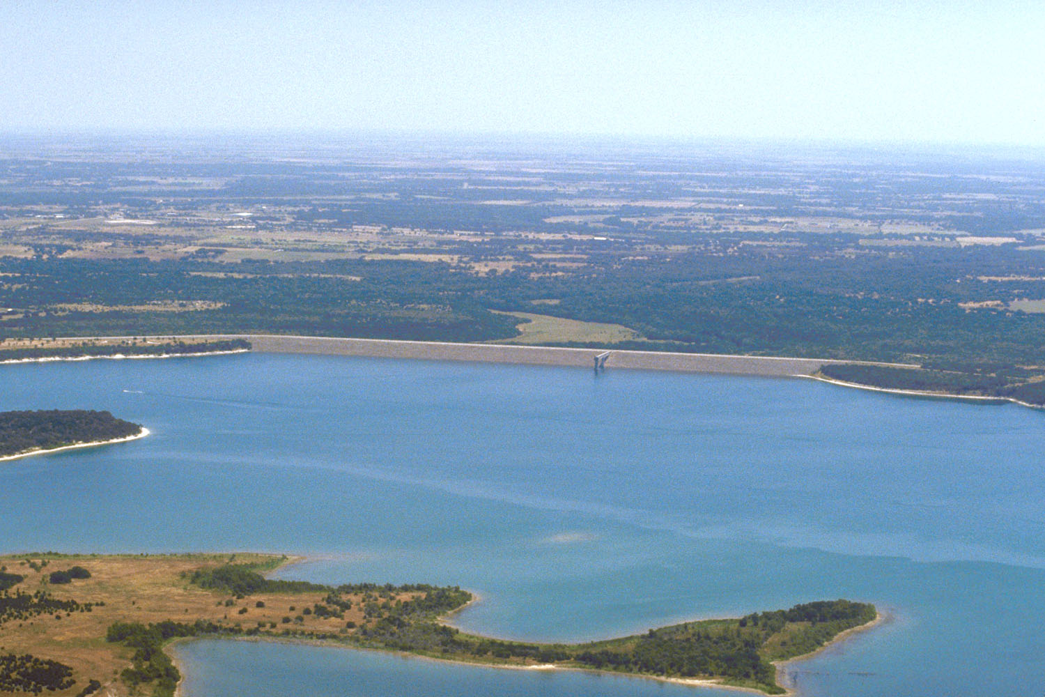
English: Aerial view of Stillhouse Hollow Lake and Dam on the Lampasas River in the Brazos River basin in Bell County, Texas, USA. The lake is located approximately 45 miles (72 km) southwest of Waco, Texas. The U.S. Army Corps of Engineers constructed the dam in 1968 for flood control on the river. View is to the east from behind the dam.
Coordinates: 31°1′21.09″N 97°31′51.29″W / 31.022525°N 97.5309139°W |
|||
| Localización | Bell County, Texas, USA | |||
| Fecha | not specified or unknown | |||
| Fuente |
U.S. Army Corps of Engineers Digital Visual Library Image page Image description page Digital Visual Library home page |
|||
| Autor | U.S. Army Corps of Engineers, photographer not specified or unknown | |||
| Permiso (Reutilización de este archivo) |
|
Historial del archivo
Haz clic sobre una fecha y hora para ver el archivo tal como apareció en ese momento.
| Fecha y hora | Miniatura | Dimensiones | Usuario | Comentario | |
|---|---|---|---|---|---|
| actual | 00:27 19 may 2007 | | 1500 × 1000 (268 kB) | DanMS | {{Information | Description = {{en|Aerial view of Stillhouse Hollow Lake and Dam on the Lampasas River in the Brazos River basin in Bell County, Texas, USA. The lake is located approximately 45 miles (72 km) southwest of Waco, Texas. The U.S. Army Corp |
Usos del archivo
La siguiente página usa este archivo:
Uso global del archivo
Las wikis siguientes utilizan este archivo:
- Uso en en.wikipedia.org