
Archivo:Redbourn, The High Street - geograph.org.uk - 142288.jpg
No se dispone de una resolución más alta.
Redbourn,_The_High_Street_-_geograph.org.uk_-_142288.jpg (640 × 480 píxeles; tamaño de archivo: 80 kB; tipo MIME: image/jpeg)
Resumen
| Descripción |
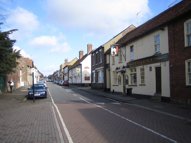
English: Redbourn: The High Street. Once the Roman Watling Street, then the arterial A5, then downgraded to the A5183, and now with A5183 by-passing it to remove through traffic, this is the main street in Redbourn, viewed looking northwards. The George and The Bull are the two Public Houses on the right side of the road. |
| Fecha | |
| Fuente | From geograph.org.uk |
| Autor | Nigel Cox |
| Atribución (requerido por la licencia) | Nigel Cox / Redbourn: The High Street / |
| Ubicación del objeto | | Ubicación de esta y otras imágenes en: OpenStreetMap |
|---|
_&language=es)
Licencia

|
Esta imagen proviene de la colección del proyecto Geograph British Isles. Veáse la página de esta fotografía en el sitio web de Geograph para más información del fotógrafo. El titular de los derechos de autor de esta imagen es Nigel Cox y autoriza utilizarla bajo la licencia Reconocimiento-CompartirIgual 2.0 de Creative Commons.
|
Este archivo se encuentra bajo la licencia Creative Commons Genérica de Atribución/Compartir-Igual 2.0.
Atribución: Nigel Cox
- Eres libre:
- de compartir – de copiar, distribuir y transmitir el trabajo
- de remezclar – de adaptar el trabajo
- Bajo las siguientes condiciones:
- atribución – Debes otorgar el crédito correspondiente, proporcionar un enlace a la licencia e indicar si realizaste algún cambio. Puedes hacerlo de cualquier manera razonable pero no de manera que sugiera que el licenciante te respalda a ti o al uso que hagas del trabajo.
- compartir igual – En caso de mezclar, transformar o modificar este trabajo, deberás distribuir el trabajo resultante bajo la misma licencia o una compatible como el original.
Historial del archivo
Haz clic sobre una fecha y hora para ver el archivo tal como apareció en ese momento.
| Fecha y hora | Miniatura | Dimensiones | Usuario | Comentario | |
|---|---|---|---|---|---|
| actual | 09:04 31 ene 2010 | | 640 × 480 (80 kB) | GeographBot | == {{int:filedesc}} == {{Information |description={{en|1=Redbourn: The High Street. Once the Roman Watling Street, then the arterial A5, then downgraded to the A5183, and now with A5183 by-passing it to remove through traffic, this is the main street in R |
Usos del archivo
La siguiente página usa este archivo:
Uso global del archivo
Las wikis siguientes utilizan este archivo:
- Uso en nl.wikipedia.org