
Archivo:Cape Verde (orthographic projection).svg

Tamaño de esta previsualización PNG del archivo SVG: 553 × 553 píxeles. Otras resoluciones: 240 × 240 píxeles · 480 × 480 píxeles · 768 × 768 píxeles · 1024 × 1024 píxeles · 2048 × 2048 píxeles.
Ver la imagen en su resolución original ((Imagen SVG, nominalmente 553 × 553 pixels, tamaño de archivo: 289 kB))
Resumen
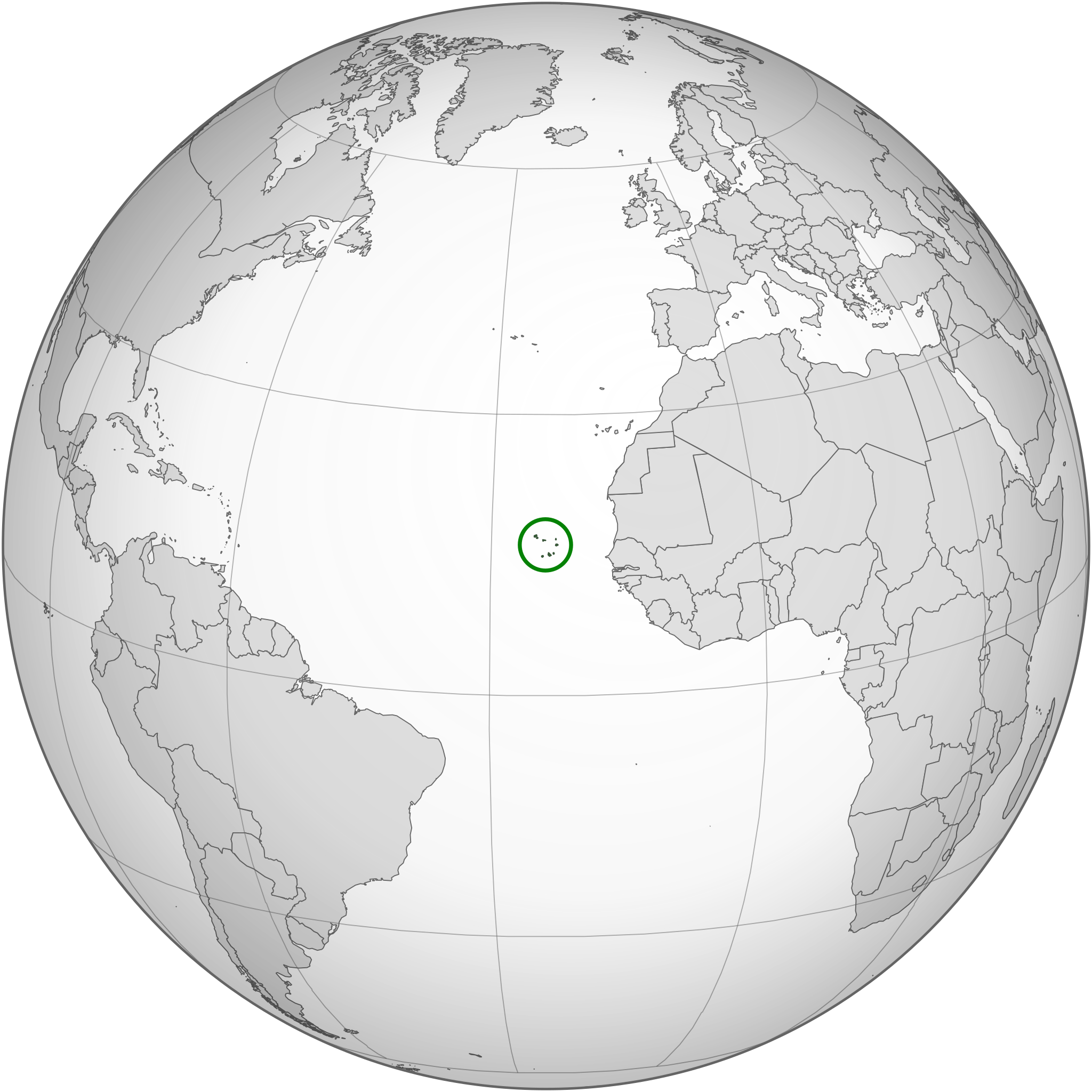
| Descripción | Location of Cape Verde in the globe |
| Fecha | |
| Fuente | Trabajo propio, basado en: None (orthographic projection).svg y SVG-Koort Kap Verde.svg. |
| Autor | Original: Waldyrious, Nueva versión: Flappiefh |
| Otras versiones |
.svg) |
| SVG desarrollo |
.svg)
.svg)
.svg)
.svg)
.svg)
.svg)
.svg)
.svg)
.svg)
.svg)
.svg)
.svg)
.svg)
.svg)
.svg)
.svg)
.svg)
.svg)
.svg)
.svg)
.svg)
.svg)
.svg)
.svg)
.svg)
.svg)
.svg)
.svg)
.svg)
.svg)
.svg)
.svg)
.svg)
.svg)
.svg)
.svg)
.svg)
.svg)
.svg)
.svg)
.svg)
.svg)
.svg)
.svg)
.svg)
.svg)
.svg)
.svg)
.svg)
.svg)
.svg)
.svg)
.svg)
.svg)
.svg)
.svg)
.svg)
.svg)
.svg)
.svg)
.svg)
.svg)
.svg)
.svg)
.svg)
.svg)
.svg)
.svg)
.svg)
.svg)
.svg)
.svg)
.svg)

.svg)

.svg)

.svg)
.svg)
.svg)
.svg)
.svg)
.svg)
.svg)


.svg)
.svg)
.svg)
.svg)
.svg)
.svg)
.svg)

.svg)
.svg)
.svg)
.svg)
.svg)
.svg)
.svg)
.svg)
.svg)
.svg)

.svg)
.svg)
.svg)
.svg)
.svg)
.svg)
.svg)
_without_national_boundaries.svg)
.svg)
.svg)
.svg)
.svg)
.svg)
.svg)

.svg)
.svg)
.png)
.svg)
.svg)
.svg)
.svg)

.svg)
.svg)
.svg)
.svg)
.svg)
.svg)
.svg)
.svg)
.svg)
.svg)
.svg)

.svg)
.svg)
.svg)
.svg)
.svg)
.svg)
.svg)
.svg)
.svg)

.svg)
.svg)

.svg)
.svg)
.svg)
.svg)
.svg)
.svg)
.svg)
.svg)
.svg)
.svg)
.svg)
.svg)
.svg)
.svg)
.svg)
.svg)
.svg)
.svg)
.svg)
.svg)
.svg)
.svg)
.svg)
.svg)
.svg)
.svg)
.svg)
_-_Crimea_disputed.svg)
.svg)
.svg)
.svg)
.svg)
.svg)
.svg)
.svg)
.svg)
.svg)
.svg)
.svg)
_political.svg)
.svg)
.svg)
.svg)
.svg)
_-_Crimea_disputed_-_no_borders.svg)
.svg)
.svg)
.svg)
.svg)
.svg)
.svg)
.svg)
.svg)
.svg)
.svg)
.svg)

.svg)
.svg)
.svg)

.png)
.svg)
.svg)
.svg)
.svg)
.svg)
.svg)
.svg)
.svg)
.svg)
.svg)
.svg)
.svg)
.svg)
.svg)
.svg)
.svg)
.svg)
.svg)
.svg)
.svg)
.svg)
.svg)
.svg)
.svg)
.svg)
.svg)
.svg)
.svg)
.svg)
.svg)
.svg)
.svg)
.svg)
.svg)
.png)
.svg)
.svg)
.svg)
_(orthographic_projection).png)
.svg?uselang=es)
.svg)
Licencia
Yo, el titular de los derechos de autor de esta obra, la publico en los términos de la siguiente licencia:
Este archivo se encuentra bajo la licencia Creative Commons Genérica de Atribución/Compartir-Igual 3.0.
- Eres libre:
- de compartir – de copiar, distribuir y transmitir el trabajo
- de remezclar – de adaptar el trabajo
- Bajo las siguientes condiciones:
- atribución – Debes otorgar el crédito correspondiente, proporcionar un enlace a la licencia e indicar si realizaste algún cambio. Puedes hacerlo de cualquier manera razonable pero no de manera que sugiera que el licenciante te respalda a ti o al uso que hagas del trabajo.
- compartir igual – En caso de mezclar, transformar o modificar este trabajo, deberás distribuir el trabajo resultante bajo la misma licencia o una compatible como el original.
Historial del archivo
Haz clic sobre una fecha y hora para ver el archivo tal como apareció en ese momento.
| Fecha y hora | Miniatura | Dimensiones | Usuario | Comentario | |
|---|---|---|---|---|---|
| actual | 23:44 16 mar 2015 | | 553 × 553 (289 kB) | Flappiefh | Removed Somaliland and Kosovo. Separated Western Sahara and Morroco. |
| 17:32 30 jul 2013 |  | 553 × 553 (297 kB) | Flappiefh | Removed the unneeded green circle. | |
| 17:30 30 jul 2013 |  | 553 × 553 (298 kB) | Flappiefh | South Sudan is now represented. The map has been redone thanks to gringer's Perlshaper tool. | |
| 06:53 7 sep 2010 |  | 650 × 650 (349 kB) | Waldyrious | Reverted to version as of 22:57, 18 June 2010. Proposed new version will be uploaded to separate filename | |
| 19:24 6 sep 2010 |  | 550 × 550 (664 kB) | Eddo | possible new version? | |
| 22:57 18 jun 2010 |  | 650 × 650 (349 kB) | Waldyrious | {{Information |Description=Location of Cape Verde in the globe |Source={{own}} |Date=2010-18-06 |Author=Waldir |Permission= |other_versions= }} |
Usos del archivo
Las siguientes páginas usan este archivo:
Uso global del archivo
Las wikis siguientes utilizan este archivo:
- Uso en avk.wikipedia.org
- Uso en bg.wikipedia.org
- Uso en bi.wikipedia.org
- Uso en chr.wikipedia.org
- Uso en ckb.wikipedia.org
- Uso en el.wikipedia.org
- Uso en en.wikipedia.org
- Uso en en.wikinews.org
- Uso en fa.wikipedia.org
- Uso en ff.wikipedia.org
- Uso en fr.wikipedia.org
- Uso en gcr.wikipedia.org
- Uso en he.wikipedia.org
- Uso en hu.wikipedia.org
- Uso en id.wikipedia.org
- Uso en ilo.wikipedia.org
- Uso en incubator.wikimedia.org
- Uso en is.wikipedia.org
- Uso en ja.wikipedia.org
- Uso en ka.wikipedia.org
- Uso en ky.wikipedia.org
- Uso en lt.wikipedia.org
- Uso en mg.wikipedia.org
- Uso en mi.wikipedia.org
- Uso en mn.wikipedia.org
- Uso en mt.wikipedia.org
- Uso en my.wikipedia.org
- Uso en ne.wikipedia.org
- Uso en no.wikipedia.org
- Uso en or.wikipedia.org
- Uso en pa.wikipedia.org
- Uso en pl.wikivoyage.org
- Uso en pl.wiktionary.org
Ver más uso global de este archivo.
.svg)
.svg)