
Archivo:Argyll and Bute council.PNG

Tamaño de esta previsualización: 480 × 599 píxeles. Otras resoluciones: 192 × 240 píxeles · 384 × 480 píxeles · 615 × 768 píxeles · 820 × 1024 píxeles · 1641 × 2048 píxeles · 2733 × 3411 píxeles.
Ver la imagen en su resolución original (2733 × 3411 píxeles; tamaño de archivo: 221 kB; tipo MIME: image/png)
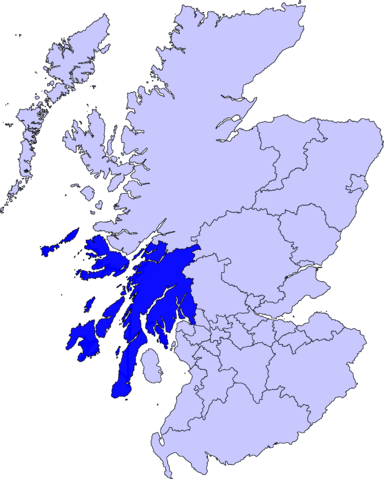
| Descripción | map of Argyll and Bute | ||||||||
| Fecha | |||||||||
| Fuente |
Barryob, titular de los derechos de autor de esta obra, la publica en los términos de la siguiente licencia:
|
||||||||
| Autor | User:Barryob | ||||||||
| Otras versiones | Obras derivadas de ésta: Argyll and Bute council new.jpg |

Historial del archivo
Haz clic sobre una fecha y hora para ver el archivo tal como apareció en ese momento.
| Fecha y hora | Miniatura | Dimensiones | Usuario | Comentario | |
|---|---|---|---|---|---|
| actual | 05:13 10 abr 2007 | | 2733 × 3411 (221 kB) | Barryob | |
| 21:49 8 abr 2007 |  | 2733 × 3411 (222 kB) | Barryob | ||
| 03:24 7 abr 2007 |  | 2733 × 3411 (222 kB) | Barryob | {{Information |Description=map of Argyll and Bute |Source={{GFDL-user|Barryob}} |Date=2006-04-07 |Author=User:Barryob |Permission= |other_versions= }} Category:Maps of unitary councils of Scotland |
Usos del archivo
No hay páginas que enlacen a este archivo.
Uso global del archivo
Las wikis siguientes utilizan este archivo:
- Uso en br.wikipedia.org
- Uso en cy.wikipedia.org
- Uso en eu.wikipedia.org
- Argyll eta Bute
- Lankide:Euskaldunaa
- Inveraray
- Lochgilphead
- Helensburgh
- Oban
- Tobermory
- Campbeltown
- Rothesay
- Port Ellen
- Craighouse
- Kilmun
- Scalasaig
- Ardtalla
- Ballygrant
- Bowmore
- Bridgend (Islay)
- Lagavulin
- Nerabus
- Port Askaig
- Port Charlotte (Islay)
- Portnahaven
- Ardmenish
- Feolin
- Mannal
- Scarinish
- Ardtun
- Bunessan
- Calgary (Mull)
- Craignure
- Croggan
- Dervaig
- Fionnphort
- Kintra
- Knockan
- Lochbuie (Mull)
- Pennyghael
- Salen (Mull)
- Tiroran
- Uisken
- Ulva Ferry
- Balvicar
- Ellenabeich
- Clachan-Seil
- Txantiloi:Argyll eta Bute
- Wikiproiektu:Irlanda, Gales eta Eskoziako udalerriak
- Dunoon
- Achleck
Ver más uso global de este archivo.