
Archivo:Qatar adm location map.svg

Ver la imagen en su resolución original ((Imagen SVG, nominalmente 1039 × 987 pixels, tamaño de archivo: 60 kB))
Resumen
| Descripción |
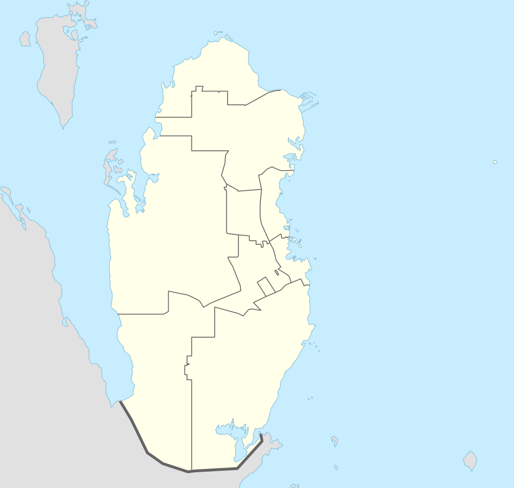
Deutsch: Positionskarte von Katar
English: Location map of Qatar
|
||||||||||||
| Fecha | |||||||||||||
| Fuente |
Trabajo propio utilizando:
|
||||||||||||
| Autor | NordNordWest | ||||||||||||

|
Este mapa se ha hecho o mejorado en el Kartenwerkstatt (taller cartográfico) alemán. También puede proponer mapas para mejorar.
|
Licencia
Usage of this file with:

explanatory notes: Legally binding is only the full legalcode. For a free usage I recommend to respect the following licence conditions:
1. Provide my name as given above: NordNordWest,
2. a copy of, or the URI for, the applicable license: https://creativecommons.org/licenses/by-sa/3.0/de/legalcode,
3. the title of the work,
4. in the case of an adaptation, a credit identifying the use of the work in the adaptation.
This license and the rights granted hereunder will terminate automatically upon any breach by you of the terms of this license. Any of the above conditions can be waived if you get permission from the copyright holder. If you have questions or wish differing conditions, please contact me through nnwest or my discussion page ![]() t-online.de
t-online.de
- Eres libre:
- de compartir – de copiar, distribuir y transmitir el trabajo
- de remezclar – de adaptar el trabajo
- Bajo las siguientes condiciones:
- atribución – Debes otorgar el crédito correspondiente, proporcionar un enlace a la licencia e indicar si realizaste algún cambio. Puedes hacerlo de cualquier manera razonable pero no de manera que sugiera que el licenciante te respalda a ti o al uso que hagas del trabajo.
- compartir igual – En caso de mezclar, transformar o modificar este trabajo, deberás distribuir el trabajo resultante bajo la misma licencia o una compatible como el original.

Historial del archivo
Haz clic sobre una fecha y hora para ver el archivo tal como apareció en ese momento.
| Fecha y hora | Miniatura | Dimensiones | Usuario | Comentario | |
|---|---|---|---|---|---|
| actual | 05:16 21 abr 2022 | | 1039 × 987 (60 kB) | Spesh531 | November 2021 border changes on the southern shore of Khawr al Udayd |
| 09:38 18 oct 2016 |  | 1039 × 987 (60 kB) | NordNordWest | corr | |
| 14:25 13 nov 2014 |  | 1039 × 987 (50 kB) | NordNordWest | == {{int:filedesc}} == {{Information |Description= {{de|1=Positionskarte von Katar}} {{en|1=Location map of Qatar}} {{Location map series N |stretching=110 |top=26.3 |bottom=24.4 |left=50.3 |right=52.5 }} |Source={{Own using}} * United States National... |
Usos del archivo
Las siguientes páginas usan este archivo:
- Al Wakrah (ciudad)
- Campeonato Mundial de Clubes de Balonmano de 2018
- Copa Asiática 2011
- Copa Asiática 2023
- Copa Asiática Sub-23 de la AFC de 2024
- Copa Intercontinental de Fútbol Sala 2016
- Copa Mundial de Clubes de la FIFA 2019
- Copa Mundial de Clubes de la FIFA 2020
- Copa Mundial de Fútbol de 2022
- Copa Árabe de la FIFA 2021
- Doha
- Estadio Áhmad bin Ali
- Hotel de Convenciones y Resort Sheraton Doha
- Isla de Jor
- Jor
- Lusail
- Madinat ash Shamal (ciudad)
- Mesaieed (ciudad)
- Mezquita Fanar
- Museo Sheikh Faisal Bin Qassim Al Thani
- Rayán (ciudad)
- Stars League de Catar 2015-16
- Stars League de Catar 2016-17
- Supercopa de la CAF 2019
- Umm Salal Ali
- Zubarah
- Usuario:PC120LAMEX/Taller22
- Usuario:RealLifeDilemma279/Copa Mundial de Fútbol 2026/Taller
- Usuario:RealLifeDilemma279/Taller
- Usuario:VícAlz/Copa del Mundo de Catar 2022
- Plantilla:Mapa de localización de Catar
- Anexo:Estadios de la Copa Mundial de Fútbol
- Anexo:Patrimonio de la Humanidad en Catar
Uso global del archivo
Las wikis siguientes utilizan este archivo:
- Uso en af.wikipedia.org
- Uso en an.wikipedia.org
- Uso en ast.wikipedia.org
- Uso en azb.wikipedia.org
- Uso en az.wikipedia.org
- Uso en ban.wikipedia.org
- Uso en bcl.wikipedia.org
- Uso en bn.wikipedia.org
- Uso en br.wikipedia.org
- Uso en bs.wikipedia.org
- Uso en ca.wikipedia.org
- Uso en ckb.wikipedia.org
- Uso en da.wikipedia.org
- Uso en de.wikipedia.org
Ver más uso global de este archivo.