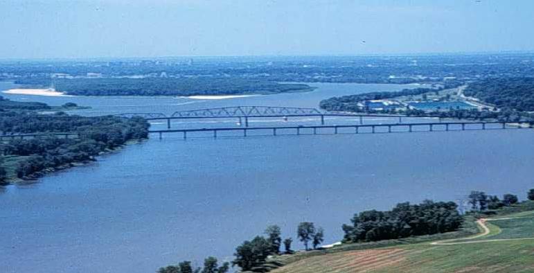
Archivo:Miss R dam 27.jpg
Miss_R_dam_27.jpg (771 × 394 píxeles; tamaño de archivo: 35 kB; tipo MIME: image/jpeg)
Historial del archivo
Haz clic sobre una fecha y hora para ver el archivo tal como apareció en ese momento.
| Fecha y hora | Miniatura | Dimensiones | Usuario | Comentario | |
|---|---|---|---|---|---|
| actual | 02:33 19 mar 2005 |  | 771 × 394 (35 kB) | Fanghong | from en wiki |
Usos del archivo
Las siguientes páginas usan este archivo:
Uso global del archivo
Las wikis siguientes utilizan este archivo:
- Uso en ang.wikipedia.org
- Uso en ar.wikipedia.org
- Uso en azb.wikipedia.org
- Uso en ba.wikipedia.org
- Uso en bcl.wikipedia.org
- Uso en be-tarask.wikipedia.org
- Uso en be.wikipedia.org
- Uso en bg.wikipedia.org
- Uso en bxr.wikipedia.org
- Uso en ca.wikipedia.org
- Uso en co.wikipedia.org
- Uso en cv.wikipedia.org
- Uso en cy.wikipedia.org
- Uso en da.wikipedia.org
- Uso en en.wikipedia.org
- Uso en eo.wikipedia.org
- Uso en es.wikibooks.org
- Uso en eu.wikipedia.org
- Uso en fr.wikipedia.org
- Uso en gcr.wikipedia.org
- Uso en gl.wikipedia.org
- Uso en gn.wikipedia.org
- Uso en ha.wikipedia.org
- Uso en he.wikipedia.org
- Uso en hi.wikipedia.org
- Uso en hu.wikipedia.org
- Uso en ia.wikipedia.org
- Uso en incubator.wikimedia.org
- Uso en it.wikipedia.org
- Uso en ja.wikipedia.org
- Uso en kk.wikipedia.org
- Uso en ko.wikipedia.org
- Uso en ky.wikipedia.org
- Uso en mg.wikipedia.org
- Uso en mhr.wikipedia.org
- Uso en ml.wikipedia.org
- Uso en mn.wikipedia.org
- Uso en mwl.wikipedia.org
- Uso en oc.wiktionary.org
- Uso en pl.wikipedia.org
- Uso en pt.wikipedia.org
- Uso en roa-tara.wikipedia.org
Ver más uso global de este archivo.


