
Archivo:Sts-99-patch.png

Tamaño de esta previsualización: 609 × 599 píxeles. Otras resoluciones: 244 × 240 píxeles · 488 × 480 píxeles · 781 × 768 píxeles · 1041 × 1024 píxeles · 1866 × 1836 píxeles.
Ver la imagen en su resolución original (1866 × 1836 píxeles; tamaño de archivo: 3 MB; tipo MIME: image/png)

|
Esta imagen debería volverse a crear como imágenes vectoriales SVG. Esto proporciona muchas ventajas, véase Commons:Media for cleanup (en inglés) para más información. Si ya hay una versión SVG de esta imagen disponible, por favor súbala a Commons. Tras subirla, reemplace esta plantilla con la plantilla
{{vector version available|nuevo nombre de imagen.svg}} en esta imagen. |
Resumen
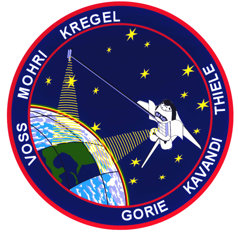
| Descripción | STS099-(S)-001 (JUNE 1999) STS-99 INSIGNIA -- The crew members designed the flight insignia for the Shuttle Radar Topography Mission (SRTM), the most ambitious Earth mapping mission to date. Two radar antennas, one located in the Shuttle bay and the other located on the end of a 60-meter deployable mast, will be used during the mission to map Earth's features. The goal is to provide a 3-dimensional topographic map of the world's surface up to the Arctic and Antarctic Circles. The clear portion of Earth illustrates the radar beams penetrating its cloudy atmosphere and the unique understanding of the home planet that is provided by space travel. The grid on Earth reflects the mapping character of the SRTM mission. The patch depicts the Space Shuttle Endeavour orbiting Earth in a star spangled universe. The rainbow along Earth's horizon resembles an orbital sunrise. The crew deems the bright colors of the rainbow as symbolic of the bright future ahead because of human beings' venturing into space. |
| Fecha | junio de 1999 |
| Fuente | NASA http://spaceflight.nasa.gov/gallery/images/shuttle/sts-99/html/sts099s001.html |
| Autor | NASA |
Este archivo fue catalogado por un de los centros de la Administración Nacional de Aeronáutica y del Espacio (NASA) de los Estados Unidos de Américabajo el identificador de foto: STS099-(S)-001. Esta etiqueta no indica el estado de los derechos de autor del trabajo adjunto. Se requiere una etiqueta de derechos de autor normal. Para más información vea Commons:Sobre las licencias. Otros idiomas:
|
Licencia
| Este archivo es de dominio público porque fue creado por la NASA. Las políticas sobre copyright de la NASA estipulan que «el material de la NASA no está protegido con copyright a menos que se indique lo contrario». (Políticas sobre copyright de la NASA o Políticas sobre la utilización de imágenes del Jet Propulsion Laboratory). | ||
 |
Advertencias:
|

|
Esta imagen representa una bandera, un escudo, un sello o alguna otra insignia oficial. El uso de estos símbolos está restringido en muchos países. Estas restricciones son independientes del estado de sus derechos de autor. |
Historial del archivo
Haz clic sobre una fecha y hora para ver el archivo tal como apareció en ese momento.
| Fecha y hora | Miniatura | Dimensiones | Usuario | Comentario | |
|---|---|---|---|---|---|
| actual | 17:24 19 mar 2007 | | 1866 × 1836 (3 MB) | Fritzbox | {{ConvertToSVG|Logo}} == Summary == STS-99 Patch Category:Logos of STS missions == Licensing == {{PD-USGov-NASA}} |
Usos del archivo
Las siguientes páginas usan este archivo:
Uso global del archivo
Las wikis siguientes utilizan este archivo:
- Uso en ar.wikipedia.org
- Uso en ast.wikipedia.org
- Uso en bg.wikipedia.org
- Uso en ca.wikipedia.org
- Uso en cs.wikipedia.org
- Uso en da.wikipedia.org
- Uso en de.wikipedia.org
- Uso en el.wikipedia.org
- Uso en en.wikipedia.org
Ver más uso global de este archivo.