
Archivo:Map of Russia - Northwestern Federal District.svg

Tamaño de esta previsualización PNG del archivo SVG: 800 × 462 píxeles. Otras resoluciones: 320 × 185 píxeles · 640 × 369 píxeles · 1024 × 591 píxeles · 1280 × 738 píxeles · 2560 × 1477 píxeles · 1092 × 630 píxeles.
Ver la imagen en su resolución original ((Imagen SVG, nominalmente 1092 × 630 pixels, tamaño de archivo: 128 kB))

|
Las fronteras en este mapa muestran la situación de facto. Este es solo uno de los diferentes puntos de vista sobre el tema (véase COM:NPOV). |
| Descripción |
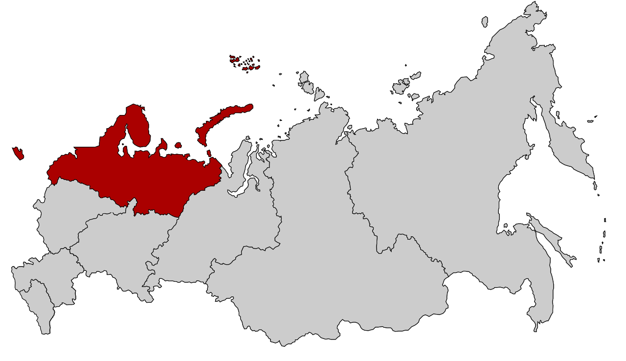
English: Map Russia highlighting the Northwestern Federal districts.
Español: Ubicación del Distrito Federal Noroeste en la Federación Rusa
Русский: Северо-западный федеральный округ |
| Fecha | |
| Fuente | Based on Map of Russian subjects, 2008-03-01.svg by Lokal_Profil |
| Autor | Lokal_Profil |
| Permiso (Reutilización de este archivo) |
Este archivo se encuentra bajo la licencia Creative Commons Genérica de Atribución/Compartir-Igual 2.5.
|
Historial del archivo
Haz clic sobre una fecha y hora para ver el archivo tal como apareció en ese momento.
| Fecha y hora | Miniatura | Dimensiones | Usuario | Comentario | |
|---|---|---|---|---|---|
| actual | 20:52 26 feb 2022 | | 1092 × 630 (128 kB) | Valar999 | NPOV issue |
| 14:21 10 mar 2015 |  | 1092 × 630 (95 kB) | Knyaz-1988 | Reverted to version as of 22:10, 3 November 2014 | |
| 01:28 4 nov 2014 |  | 1092 × 630 (128 kB) | Fry1989 | NPOV issue. | |
| 22:10 3 nov 2014 |  | 1092 × 630 (95 kB) | Knyaz-1988 | New version | |
| 22:26 21 ene 2010 |  | 1092 × 630 (128 kB) | Denhud | On 2010-01-19 Southern Federal District split in two, with its former southern territories forming new North Caucasian Federal District. | |
| 23:36 3 mar 2008 |  | 1092 × 630 (112 kB) | Lokal Profil | {{Information |Description=Map Russia highlighting the Northwestern Federal districts. |Source=Based on Map of Russian subjects, 2008-03-01.svg by [[:user:Lokal_Profil| |
Usos del archivo
La siguiente página usa este archivo:
Uso global del archivo
Las wikis siguientes utilizan este archivo:
- Uso en ar.wikipedia.org
- Uso en ast.wikipedia.org
- Uso en az.wikipedia.org
- Uso en ba.wikipedia.org
- Uso en be-tarask.wikipedia.org
- Санкт-Пецярбург
- Пскоўская вобласьць
- Калінінградзкая вобласьць
- Катэгорыя:Паўночна-Заходняя фэдэральная акруга Расейскай Фэдэрацыі
- Шаблён:Паўночна-Заходняя фэдэральная акруга
- Ленінградзкая вобласьць
- Архангельская вобласьць
- Наўгародзкая вобласьць
- Мурманская вобласьць
- Рэспубліка Комі
- Рэспубліка Карэлія
- Паўночна-Заходняя фэдэральная акруга
- Uso en be.wikipedia.org
- Uso en bs.wikipedia.org
- Uso en ca.wikipedia.org
- Uso en cv.wikipedia.org
- Uso en da.wikipedia.org
- Uso en de.wikivoyage.org
- Uso en el.wikipedia.org
- Uso en en.wikipedia.org
- Uso en eo.wikipedia.org
- Uso en eu.wikipedia.org
- Uso en fa.wikipedia.org
- Uso en hu.wikipedia.org
- Uso en hy.wikipedia.org
- Uso en id.wikipedia.org
- Uso en ja.wikipedia.org
- Uso en koi.wikipedia.org
- Uso en ko.wikipedia.org
- Uso en lv.wikipedia.org
- Uso en mn.wikipedia.org
- Uso en mr.wikipedia.org
- Uso en ms.wikipedia.org
- Uso en nl.wikipedia.org
- Uso en pfl.wikipedia.org
- Uso en pl.wikipedia.org
- Uso en pl.wikivoyage.org
- Uso en pt.wikipedia.org
- Uso en ru.wikipedia.org
- Uso en sah.wikipedia.org
Ver más uso global de este archivo.