
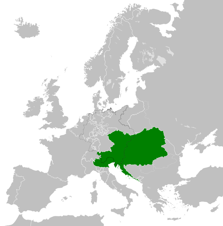
Archivo:Austrian Empire (1815).svg

Tamaño de esta previsualización PNG del archivo SVG: 450 × 456 píxeles. Otras resoluciones: 237 × 240 píxeles · 474 × 480 píxeles · 758 × 768 píxeles · 1011 × 1024 píxeles · 2021 × 2048 píxeles.
Ver la imagen en su resolución original ((Imagen SVG, nominalmente 450 × 456 pixels, tamaño de archivo: 691 kB))
Resumen


.svg)
.svg)
.svg)
.svg)
.svg)


.svg)
.svg)
.svg)


.png)
.png)


.svg)


.svg)

.svg)


.svg)
.svg)
.svg)
.svg)


.svg)
.png)


.svg)


.svg)
.svg)


.svg)


.svg)


.svg?uselang=es)
.svg)
.svg)
.svg)
.svg)
.svg)
.svg)
.svg)
_cropped.svg)
.svg)
.svg)
.svg)
.svg)
.svg)
.svg)
.svg)
.svg)
.svg)
.svg)
.svg)
.svg)
.svg)
.svg)
.svg)
.svg)
.svg)
.svg)
.svg)
.svg)
.svg)
.svg)
.svg)
.svg)
.svg)
.svg)
.svg)
.svg)
.svg)
.svg)
.svg)
.svg)
.svg)
.svg)
.svg)
.svg)
.svg)
.svg)
.svg)
.svg)
.svg)
.svg)
.svg)
.svg)
.svg)
Historial del archivo
Haz clic sobre una fecha y hora para ver el archivo tal como apareció en ese momento.
| Fecha y hora | Miniatura | Dimensiones | Usuario | Comentario | |
|---|---|---|---|---|---|
| actual | 09:58 16 abr 2019 | | 450 × 456 (691 kB) | TRAJAN 117 | +++ |
| 21:20 12 ago 2013 |  | 450 × 456 (654 kB) | TRAJAN 117 | Update | |
| 05:47 12 ago 2013 |  | 450 × 456 (1 MB) | TRAJAN 117 | {{Information |Description ={{en|1=The Austrian Empire in 1815.}} |Source ={{own}} {{AttribSVG|Blank map of Europe 1815.svg|Alphathon}} |Author =TRAJAN 117 {{created with Inkscape}} |Date =2013-08-12 |Pe... |
Usos del archivo
Las siguientes páginas usan este archivo:
Uso global del archivo
Las wikis siguientes utilizan este archivo:
- Uso en af.wikipedia.org
- Uso en ast.wikipedia.org
- Uso en azb.wikipedia.org
- Uso en ba.wikipedia.org
- Uso en bg.wikipedia.org
- Uso en br.wikipedia.org
- Uso en ce.wikipedia.org
- Uso en cs.wikipedia.org
- Uso en cy.wikipedia.org
- Uso en de.wikipedia.org
- Uso en el.wikipedia.org
- Uso en en.wikipedia.org
- Uso en fi.wikipedia.org
- Uso en frr.wikipedia.org
- Uso en fr.wikipedia.org
- Uso en ga.wikipedia.org
- Uso en gd.wikipedia.org
- Uso en gl.wikipedia.org
- Uso en he.wikipedia.org
- Uso en hi.wikipedia.org
- Uso en hr.wikipedia.org
- Uso en hy.wikipedia.org
- Uso en id.wikipedia.org
- Uso en id.wikibooks.org
- Uso en incubator.wikimedia.org
- Uso en is.wikipedia.org
- Uso en it.wikipedia.org
- Uso en jam.wikipedia.org
- Uso en ja.wikipedia.org
- Uso en ka.wikipedia.org
- Uso en km.wikipedia.org
- Uso en ko.wikipedia.org
- Uso en ky.wikipedia.org
- Uso en lmo.wikipedia.org
- Uso en lt.wikipedia.org
- Uso en lv.wikipedia.org
- Uso en mk.wikipedia.org
- Uso en mn.wikipedia.org
- Uso en nap.wikipedia.org
- Uso en nl.wikipedia.org
- Uso en pa.wikipedia.org
- Uso en pl.wikipedia.org
Ver más uso global de este archivo.
.svg)
.svg)