
Archivo:USA Wyoming relief location map.svg

Tamaño de esta previsualización PNG del archivo SVG: 721 × 600 píxeles. Otras resoluciones: 289 × 240 píxeles · 577 × 480 píxeles · 923 × 768 píxeles · 1231 × 1024 píxeles · 2462 × 2048 píxeles · 1500 × 1248 píxeles.
Ver la imagen en su resolución original ((Imagen SVG, nominalmente 1500 × 1248 pixels, tamaño de archivo: 4,33 MB))
Resumen
| Descripción | |
| Fecha | |
| Fuente |
Trabajo propio
|
| Autor | ikonact |
Licencia
Yo, el titular de los derechos de autor de esta obra, la publico en los términos de la siguiente licencia:
Este archivo está disponible bajo la licencia Creative Commons Attribution-Share Alike 4.0 International.
- Eres libre:
- de compartir – de copiar, distribuir y transmitir el trabajo
- de remezclar – de adaptar el trabajo
- Bajo las siguientes condiciones:
- atribución – Debes otorgar el crédito correspondiente, proporcionar un enlace a la licencia e indicar si realizaste algún cambio. Puedes hacerlo de cualquier manera razonable pero no de manera que sugiera que el licenciante te respalda a ti o al uso que hagas del trabajo.
- compartir igual – En caso de mezclar, transformar o modificar este trabajo, deberás distribuir el trabajo resultante bajo la misma licencia o una compatible como el original.
Historial del archivo
Haz clic sobre una fecha y hora para ver el archivo tal como apareció en ese momento.
| Fecha y hora | Miniatura | Dimensiones | Usuario | Comentario | |
|---|---|---|---|---|---|
| actual | 14:53 4 feb 2022 | | 1500 × 1248 (4,33 MB) | Ikonact | desc // Editing SVG source code using c:User:Rillke/SVGedit.js |
| 14:52 4 feb 2022 |  | 1500 × 1248 (4,33 MB) | Ikonact | desc & title modification // Editing SVG source code using c:User:Rillke/SVGedit.js | |
| 14:50 4 feb 2022 |  | 1500 × 1248 (4,33 MB) | Ikonact | +desc // Editing SVG source code using c:User:Rillke/SVGedit.js | |
| 14:47 4 feb 2022 |  | 1500 × 1248 (4,33 MB) | Ikonact | + title // Editing SVG source code using c:User:Rillke/SVGedit.js | |
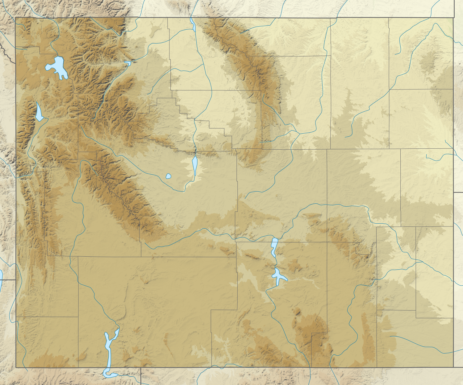
| 08:31 4 feb 2022 |  | 1500 × 1248 (4,33 MB) | Ikonact | =={{int:filedesc}}== {{Information |description={{en|1=Relief location map of {{W|Wyoming}}, {{W|USA}} Geographic limits of the map: * N: 45.2° N * S: 40.8° N * W: 111.3° W * E: 103.9° W}} |date=2022-02-04 |source={{own}} *Based on File:USA Wyoming location map.svg *Public domain SRTM3 |author=ikonact |permission= |other versions= }} =={{int:license-header}}== {{self|cc-by-sa-4.0}} Category:Location maps of Wyoming |
Usos del archivo
Las siguientes páginas usan este archivo:
Uso global del archivo
Las wikis siguientes utilizan este archivo:
- Uso en de.wikipedia.org
- Grand Canyon of the Yellowstone
- Upper Falls
- Lower Falls
- Hayden Valley
- Mount Washburn
- Crystal Falls
- Eagle Peak (Park County)
- Oberes Geysir-Becken
- Jackson Hole
- Gibbon-Fälle
- Jackson Lake
- Jenny Lake
- Vorlage:Positionskarte USA Wyoming
- Lewis Lake
- Buffalo Bill Dam
- Shoshone Lake
- Lake DeSmet
- Bear River State Park
- Mount Moran
- Boysen State Park
- Hot Springs State Park
- Glendo State Park
- Laramie Peak
- Heart Lake (Wyoming)
- Sinks Canyon State Park
- Buffalo Bill State Park
- Curt Gowdy State Park
- Gannett Peak
- Edness K. Wilkins State Park
- Wyoming Hereford Ranch Reservoir Number 1
- Wyoming Hereford Ranch Reservoir Number 2
- Packer Lake (Wyoming)
- Cirque of the Towers
- Mount Sheridan
- KKPL
- Hawk Springs State Recreation Area
- Keyhole State Park
- Seminoe State Park
- Mount Everts
- Two Ocean Lake
- Grand Teton
- Cedar Mountain (Wyoming)
- Mount Schurz
- Lamar Valley
- KWRR
- KUWA
- Breccia Peak (Wyoming)
- Buck Mountain (Wyoming)
- Union Peak (Wyoming)
- Whiskey Mountain
Ver más uso global de este archivo.